Category Cartography

From Mapper to Validator to Judge

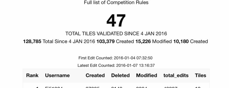
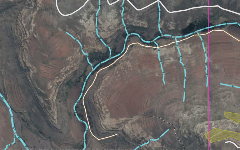
The latest #MapLesotho project push began on 4 January. Project participants have been asked to adopt a new role – that of validator. They have been asked to move from creators working with blank sheets as part of a team…

Steady, Steady … Holding to a Prudent Course

Anxious to participate in the crowdsourced initiative to map out Ireland’s historical political and administrative boundaries, I have been carefully and steadily following the stages outlined by Dave Corley in “Mapping Irish Townlands”. As I mentioned last week he has provided superb…

Challenging the Spatial Historian

I have great respect for the Programming Historian, a collaborative and evolving collection of tutorials and hands-on guides to inspire and guide practitioners in the art of doing digital history. The site does’t sugarcoat the one critical aspect of doing digital…

Mapping Vice and Ethnicity

A very fine post by Susan Schulten at Mapping the Nation inspired me to cite it and comment briefly. Mapping vice in San Francisco pulls a selection of maps from the fabulous David Rumsey collection that illustrate the rise of political…

Matt’s Wobbly Journey

Today’s gadget du jour is the Royaltek RGM-3800 GPS Receiver and Datalogger. I have long wanted to experiment with one of these and today one arrived in the post from the UK. It’s a small ticket item (€50), but after…

Mashing Without Code

It's got a great search engine, and it will map your selections on a rental by rental basis, or will present all (unfiltered) listings in the area of the listing you have chosen. ... : Daft.ie for data Dapper.com to create a dymanic RSS feed Yahoo Pipes to geocode and output a further feed Yahoo Maps because that's what Pipes works with The first step is to construct the target properties from daft.ie. ... Viewing the My Daft page then provides non-paged view of your properties and gives the data (albeit in a relatively unstructured form) needed to build a custom feed from.