Category Open Data

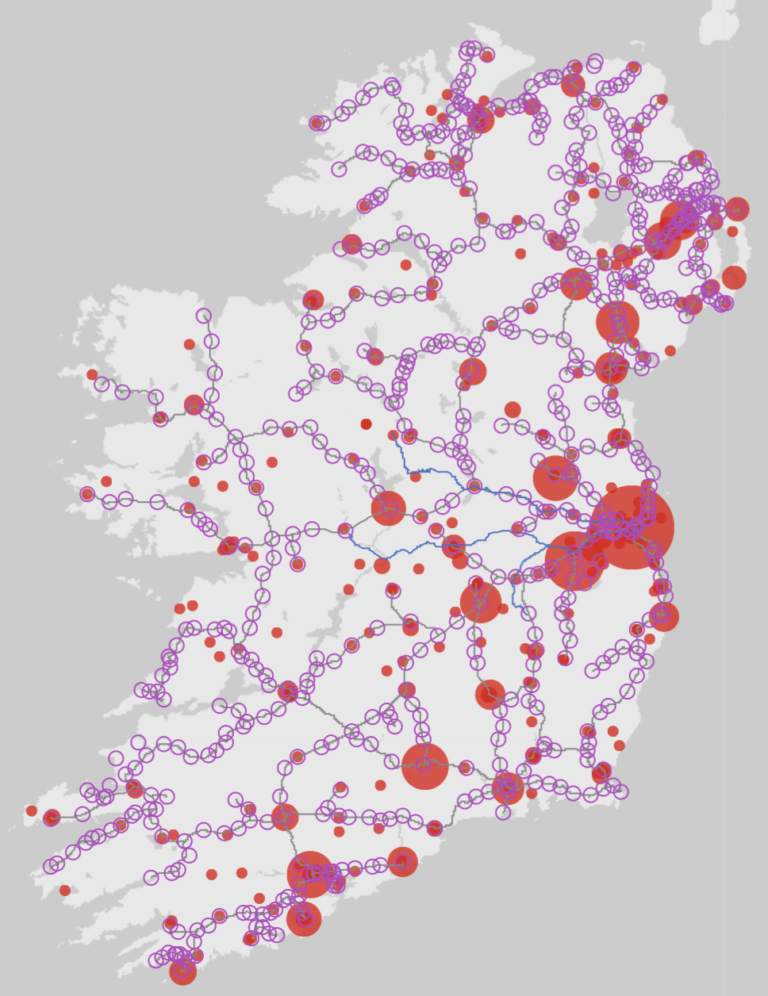
GeoJSON Files of Irish Railways

And now for a non-bookie post. Quite clearly it’s been awhile, but this seemed the right place to make a note. Wanting to make very quick look at now the changing spatial distribution of Irish breweries over the past 300…

From Mapper to Validator to Judge

The latest #MapLesotho project push began on 4 January. Project participants have been asked to adopt a new role – that of validator. They have been asked to move from creators working with blank sheets as part of a team…

Steady, Steady … Holding to a Prudent Course

Anxious to participate in the crowdsourced initiative to map out Ireland’s historical political and administrative boundaries, I have been carefully and steadily following the stages outlined by Dave Corley in “Mapping Irish Townlands”. As I mentioned last week he has provided superb…

Data for the Public Good

Dear O’Reilly Media: Please produce more of these lovely bite-sized, thought-provoking short report/monographs! Data for the Public Good by Alex Howard is a concise and hard-hitting 22 pages long. I saw it as 100% long as I read it on met eReader…